Information and Geographic Services

The Information and Geographic Services team supports all of the information technology used to provide services to the City of Mercer Island. The team is comprised of two primary components, Information Technology or IT, and Geographic Information Systems or GIS.
IT
Information Technology efforts include helpdesk, equipment replacement cycle, network and server support, business application support, and technology related projects.
GIS
Most of the services that a City provides occur at a physical location; from building permit applications to emergency 911, or utility repairs. The Geographic Information System Team creates, maintains, and provides spatial analysis, maps, applications, reports, and data to support the City’s many department activities and residents. The GIS Team is focused on offering the highest quality GIS information and services to its internal and external clients.
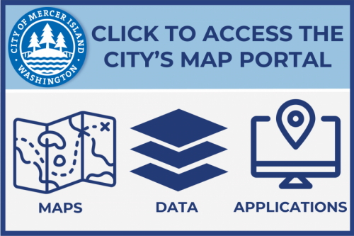
Looking for Building Permit or Land Use Records? Take advantage of the City's GIS site (click link or icon below) for a convenient way to find what you are looking for. We also have a helpful Tip Sheet for detailed step-by-step instructions to assist you with using GIS.
CLICK THE ICON BELOW TO ACCESS THE CITY'S MAP PORTAL